DDScore
DDScore helps investors, lenders, and founders research private companies. It cross-checks company materials against each other and public s
GeoSolver estimates where a photo was taken and explains visible clues such as road markings, signs, architecture, and terrain. Useful for GeoGuessr practice and open-source image verification. AI analysis is paid; separate EXIF tools and guides are free.
게시 및 관리: ToolsBot 편집팀
| 제품 웹사이트 | Reverse Image Location (GeoSolver) |
|---|---|
| 범주 | |
| ToolsBot 등록일 | |
| 등록 정보 수정일 |
날짜는 ToolsBot 등록 기록에 관한 것으로, 제품 출시일이나 새로운 독립 평가일을 의미하지 않습니다.
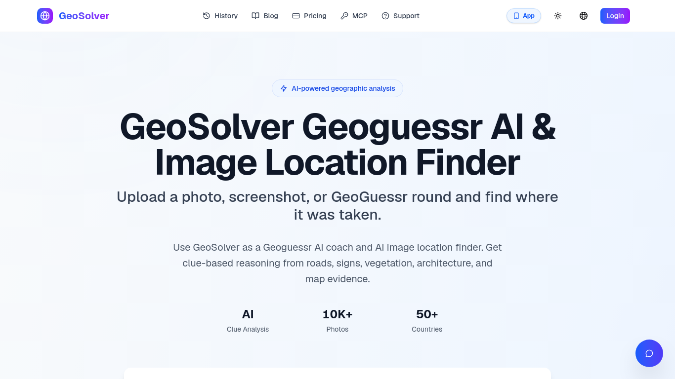
GeoSolver estimates where a photo, screenshot, or GeoGuessr round was taken.
Upload an image for AI analysis of visible geographic clues and an explained location estimate.
Practice geographic clue recognition or investigate an image's likely location for verification.
Analyzes roads, signs, architecture, vegetation, and terrain; works without GPS metadata; previews key clues. Full reasoning, location details, and map access require a premium plan.
Q: What images work best? A: Street View-style images with clear geographic clues. Q: How accurate are estimates? A: Accuracy depends on the visible evidence; country and region estimates are generally more reliable than exact coordinates when clues are limited.
같은 카테고리의 도구를 공통 카테고리 수, 누적 조회수 순으로 표시합니다. 기능을 비교하여 적합한 대안을 찾아보세요.
DDScore helps investors, lenders, and founders research private companies. It cross-checks company materials against each other and public s
Large Trader AI is a freemium conversational AI assistant for financial-market research. Ask questions about stocks, options and market data
Create an AI-drafted graphical abstract from abstract text or a sketch, then export a journal-sized 300 DPI RGB PNG or TIFF with Abfig.
LawAsked is a free legal information website, not a law firm. It answers real legal questions in plain language for 12 countries, and every
Research US and Hong Kong companies through financial reports and historical disclosures, with source links for verification. AI-assisted re
Research emerging keywords with first-seen dates, Hacker News site discovery, and SERP difficulty estimates. Browse public boards or query d
ToolsBot 누적 조회수순으로 정렬한 다른 도구입니다. 조회수가 같으면 최근 등록된 도구를 먼저 표시합니다.
Turn one or two photos into a short AI trend video with original audio. Pick a template, upload, generate, download the MP4 for TikTok, Reel
AI Picture Checker is a free browser tool that analyzes an uploaded image to estimate whether it was generated by AI. It can flag likely AI
Image to 3D Model turns a photo or illustration into a 3D model in the browser. Sign in for 20 welcome credits (one Trellis model). Export G
Score your college essay and get line-by-line feedback on structure, argument, language and grammar.
Wishora turns a recipient’s name, one memory, and an inside joke into a personalized gift song. Free 30-second preview; unlock the full song
AI role-play practice for customer-facing teams, with live video conversations and feedback. Three free owner practice challenges; team subs
제품 참고 링크: Reverse Image Location (GeoSolver) — 제품 웹사이트.
도입 전에 제품 웹사이트에서 최신 기능, 가격 및 정책을 확인하세요.
ToolsBot은 제품 탐색과 비교를 위한 정보를 제공합니다. 등록이 제품에 대한 보증이나 주장의 정확성을 보장하지는 않습니다.